Maps
of
Tryon County
(1772 - 1784)
(Click on maps for larger image)
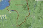
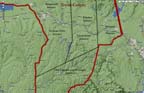
Tryon County shown with
modern county boundaries
modern county boundaries
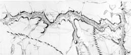
Gray's Map 1779
Terrain
- Mohawk to southern limits
Terrain - 7 Districts
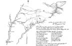
Wintersmith's
Mohawk Valley Map
(Large image, use scroll bar to see entire map)
(Large image, use scroll bar to see entire map)