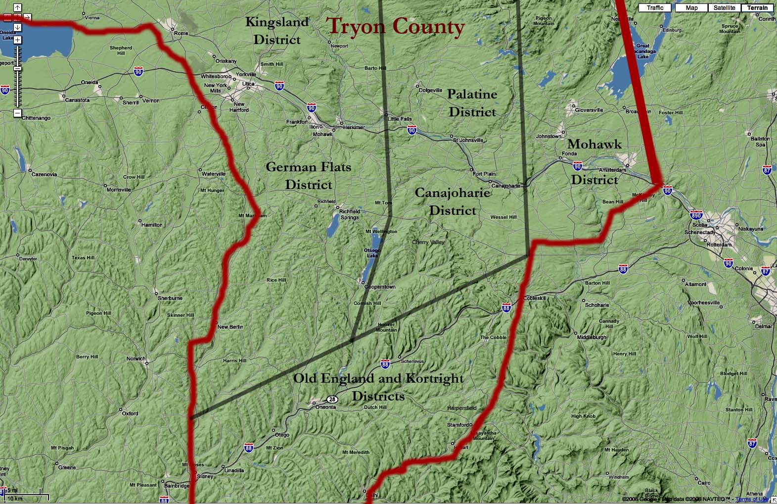
The 7 Districts of Tryon County

Note the distances and terrain that had to be crossed to go from Harpersfield to Cherry Valley and the county seat above the Mohawk at Johnstown. Compare this to the terrain and distance traveling northeast to the Schoharie Valley and on to Albany.The back door to the Mohawk and Schoharie Valleys for the enemy was north and east from Unidilla seen in the lower left of the map. This was the achillees heal for Indian raids across the Frontier settlements. It was continually used as an invasion route from 1777 till the end of the war.Militarily only two companies of Rangers were authorized to patrol the frontiers. The population of the county was concentrated along the Mohawk and Schoharie Rivers with a few scattered small settlements such as Cherry Valley just to the South of the Mohawk. Harpersfield was isolated and vulnerable! |
and is filed under "Presbyterian Church Records of Harpersfield". It is document 1 in this file.
 BACK
BACK