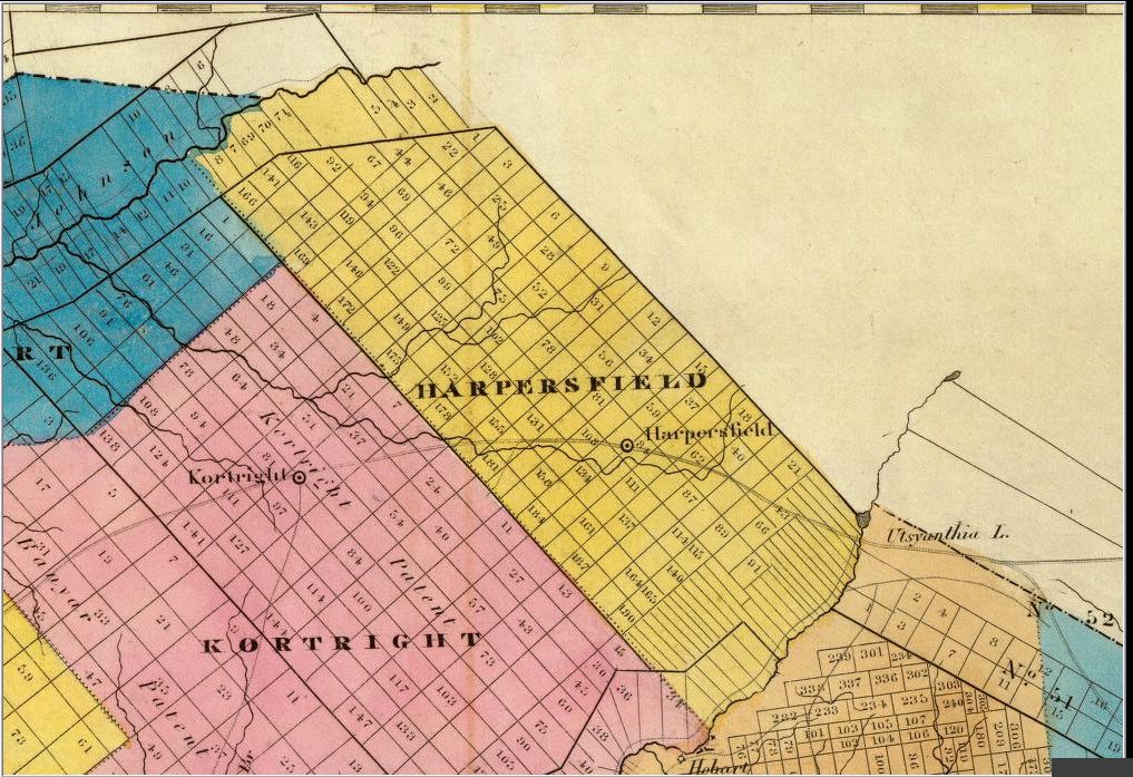
Map of the
Harpersfield Patent (Enlargement) |
|
 |
|
This map shows the second division of the various lots. The first division had 220 lots of 100 acres each totaling the 22,000 acres originally Patented in 1771. Many of the lots were sold and the buyers had the perogative to subdivide and resell the lots they owned. This is an enlargement of a County Map done in 1829 and clearly shows the lot numbers. The primary changes from the original map is in the division of lots along the Mohawk branch of the Delaware on the southeast side of the Patent. |
|
 |
This site
maintained by Rick Harper Images copyright 1998, 1999, 2000, 2001, 2002, 2003, 2004, 2005, 2006 All rights reserved |
