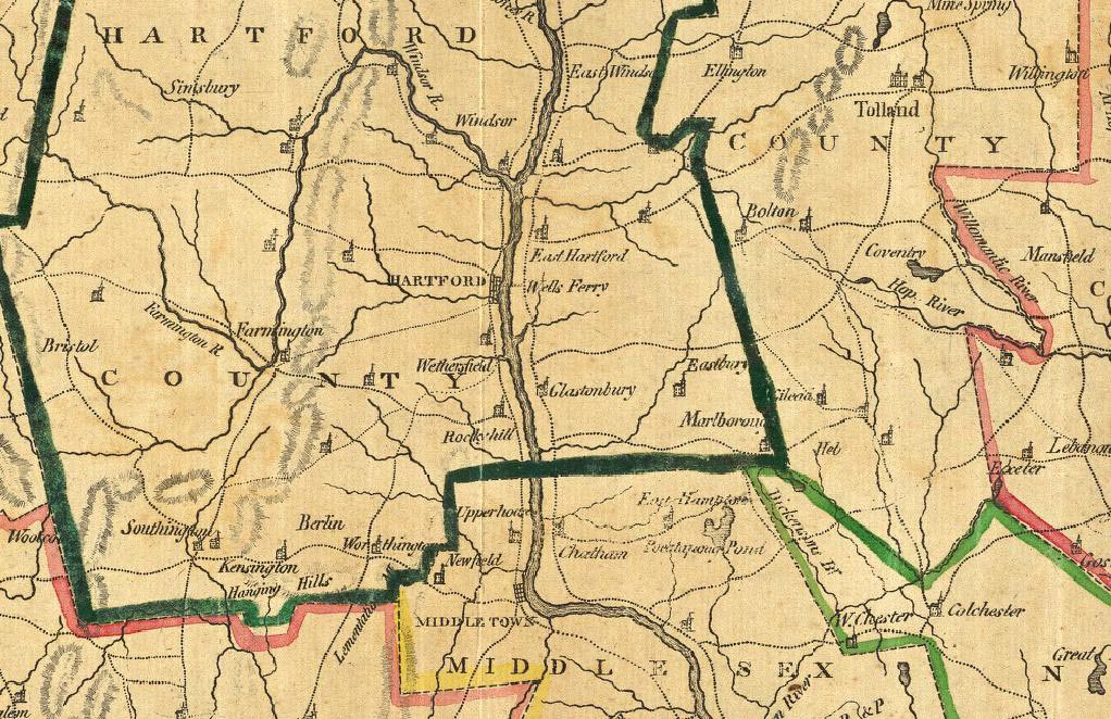
| Close
up of 1797 Connecticut Map
|
||
 |
|||
| Note on this map the number of Steeples. Each church shown was also a public meeting house where people discussed and carried on the governmental business of their communities. The only courthouse is shown on in the upper right section of the map. | |||
 |
This
site maintained by Rick
Harper Images copyright 1998, 1999, 2000, 2001, 2002, 2003, 2004, 2005, 2006 All rights reserved |
||

This site maintained by Rick Harper
Images copyright 1998, 1999, 2000, 2001, 2002, 2003, 2004, 2005, 2006
All rights reserved